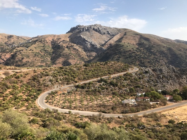
About 30 minutes east of Seville the mountains appear in the distance and the flat plain turns into mounded hills and fields that are covered in what looks like golden brown grasses or else with olive trees. And then after about an hour we are in the mountains.
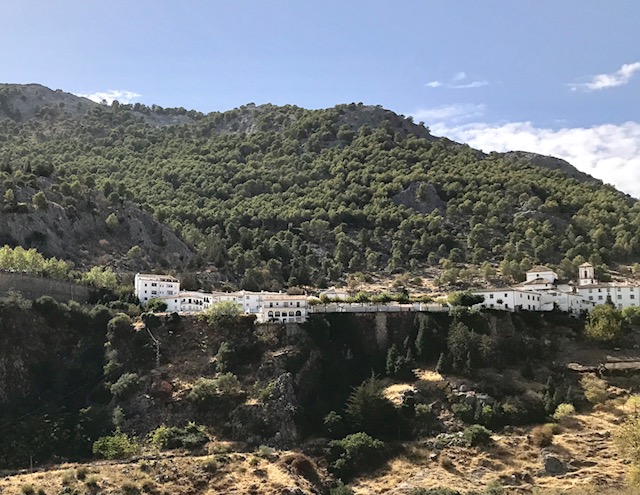
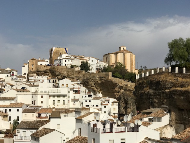
The first of the “white villages” in the Serrania de Ronda that we come to is the little town of Grazalema, perched on some cliffs on a mountainside.
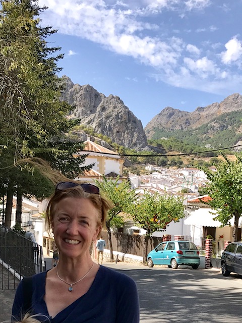
But first, before arriving, and just a few minutes’ drive from the view above, we stop by a trash dumpster and have lunch. Why? Excessive whining. “I’m hungry. I’m thirsty. I’m carsick. When are we going to be there. Let’s just stop.” Not knowing how close we actually are, we just stop. We have cheese sandwiches; we stroll around the tiny gravel lot by the winding road. Then back in the car and over two hills and Grazalema comes into view.
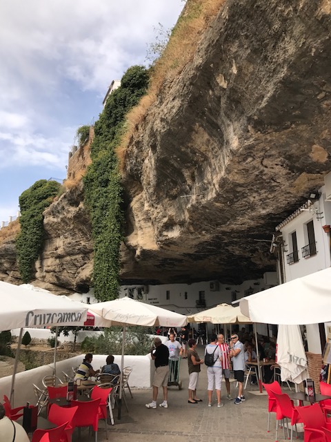
Later in our trip we visited Setenil, with a fortress up on a rocky out-cropping and then down below, rock ledges overhanging a riverbed, with caves where the Romans stored wine and where cafe owners now store potato chips and olives and wine and kegs of Cruzcampo.
The next day we went to Cueva de Pilates, a giant cave system with large rooms, huge eerie stalagmite and stalactite structures that look like the skeletons of some strange plant or pipe organs, and paintings from as far back as 32,000 years ago. No photos were permitted, but the paintings looked similar to the well known ones in Lascaux. And below, a view from the cave entrance.
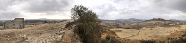
We also visited the ruins at “Ronda la Vieja” — which was given that name after the center for the administration of the region was moved to Ronda (new Ronda, I guess) — which include the remnants of a Roman amphitheatre. The old Ronda is built on what feels like a giant limestone shelf that is stuck into the landscape at an angle, and from the lip (just a short walk uphill from the theatre) you can see three provinces of Spain.
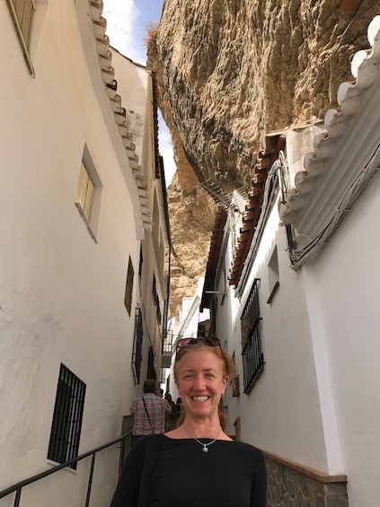
And finally, Ronda! The town has a bridge built at the same time as the American revolutionary war that spans a deep gorge and now connects two neighborhoods. We hiked down into the gorge to better see the bridge.
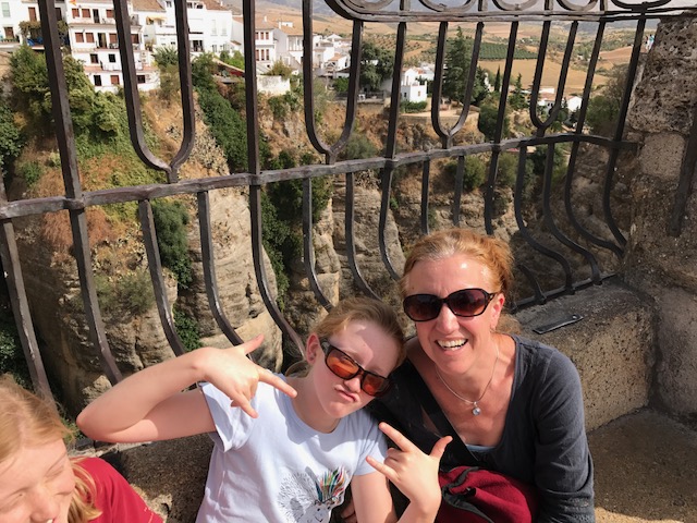

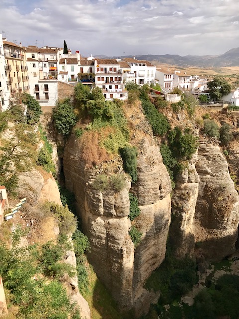
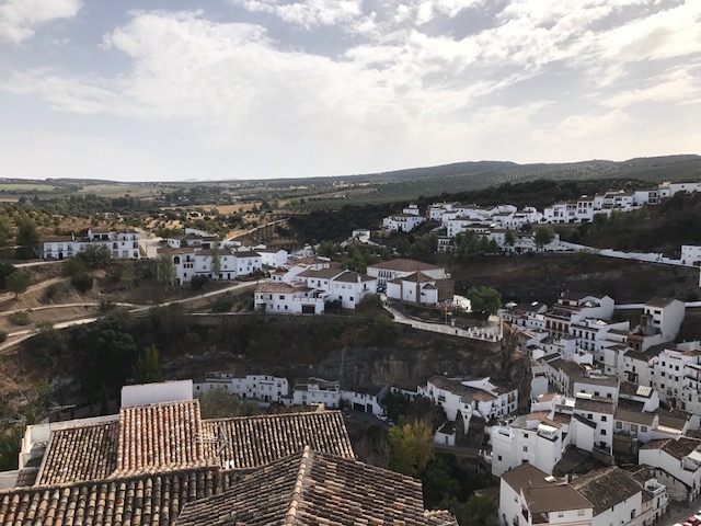
And this picture below gives you sense for the town’s position.